Travel Guide of Cape Byron State Conservation Area in Australia by Influencers and Travelers
Cape Byron is the easternmost point of the mainland of Australia, located in New South Wales. It is about 3 km east of the town of Byron Bay, New South Wales and projects into the Pacific Ocean at 28.6335° S, 153.6383° E. A lighthouse is situated there.
Download the Travel Map of Australia on Google Maps here
Pictures and Stories of Cape Byron State Conservation Area from Influencers
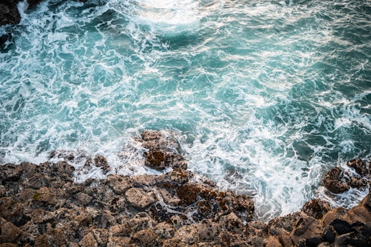
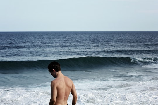
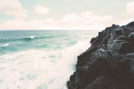
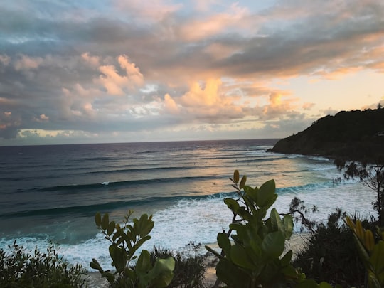
3 pictures of Cape Byron State Conservation Area from Shubham Sharma, hayley Konig, Nadia Baxter and other travelers
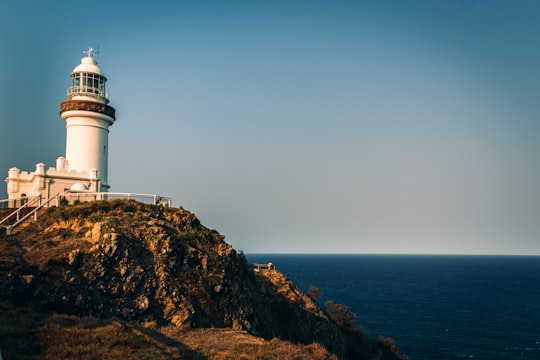
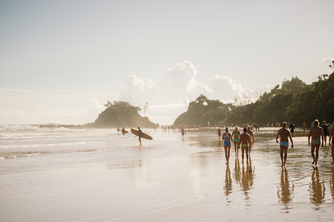
- A sunset shot of the Byron Bay Lighthouse. ...click to read more
- Experienced by @Shubham Sharma | ©Unsplash
Plan your trip in Cape Byron State Conservation Area with AI 🤖 🗺
Roadtrips.ai is a AI powered trip planner that you can use to generate a customized trip itinerary for any destination in Australia in just one clickJust write your activities preferences, budget and number of days travelling and our artificial intelligence will do the rest for you
👉 Use the AI Trip Planner
Book your Travel Experience at Cape Byron State Conservation Area
Discover the best tours and activities around Cape Byron State Conservation Area, Australia and book your travel experience today with our booking partners
Map of Cape Byron State Conservation Area
View Cape Byron State Conservation Area on a map with the the closest popular places nearby
Download On Google Maps 🗺️📲
More Travel spots to explore around Cape Byron State Conservation Area
Click on the pictures to learn more about the places and to get directions
Discover more travel spots to explore around Cape Byron State Conservation Area
🏖️ Beach spots 🌊 Ocean spotsWhere to Stay near Cape Byron State Conservation Area
Discover the best hotels around Cape Byron State Conservation Area, Australia and book your stay today with our booking partner booking.com
Popular destinations near Cape Byron State Conservation Area
Disover the best Instagram Spots around Cape Byron State Conservation Area here
Brunswick Heads
12 km (7.8 miles) away from Cape Byron State Conservation Area
Travel guide of Brunswick Heads

Hastings Point
31 km (19.3 miles) away from Cape Byron State Conservation Area
Hastings Point is a town located in north-eastern New South Wales, Australia, in the Tweed Shire.
Travel guide of Hastings Point
Duranbah
37 km (22.9 miles) away from Cape Byron State Conservation Area
Duranbah is a town located in north-eastern New South Wales, Australia, in the Tweed Shire.
Travel guide of Duranbah
Fingal Head
49 km (30.4 miles) away from Cape Byron State Conservation Area
Travel guide of Fingal Head